
Yesterday was a happy day, as I had my first publication of the year. It is a compilation of sea-level data from the Last Interglacial for Uruguay, Argentina and one site from Chile. There is a long heritage of interest in these deposits, going back to Charles Darwin’s surveys on the Voyage of the Beagle, so it is exciting to be part of this. I thought here I would give some of the background for this paper.
The seeds of this paper began in late 2017. At that time, I was finishing up the year, having supervised a master’s student, Sara Khosravi, who’s project was reconstructing ice sheets in northern Canada. At the conclusion of this, I had a setup ready for calculating ice sheet reconstructions for the entire world. This got me thinking, it would be a great idea to use this make a new global ice sheet reconstruction. The problem was that there was no unified database of paleo sea-level indicators. So, I did some searching, and found someone who was at nearby University of Bremen who seemed to be interested in this problem. That was Alessio Rovere. I emailed him and arranged a meeting so that I could propose my idea of a sea-level database. We definitely hit things off well from the very start. To my surprise, an effort to create a sea level database for Holocene and late deglacial sea level indicators was already underway, through the PALSEA group. I was quite pleased with this, and hoped to keep in touch with the possibility to contribute.
As fate would have it, I decided to remain in Germany and take up an opportunity to work directly with Alessio. The project, called WARMCOASTS, is an EU funded project to try to bring together evidence of what sea level was during the Last Interglacial. For those who don’t know, the Last Interglacial, which was about 130,000 years ago, was a period of time when sea level was several meters higher than it is now. For this to have happened, it is very likely that parts of the Greenland and Antarctic ice sheets had less ice than now. As such, it is seen as an analogue for the future.
Evidence of sea level position at this time is being compiled into a database called the World Atlas of Last Interglacial Shorelines (WALIS). At the moment, there is almost global coverage in the database, and papers are being collected in a special issue of Earth System Science Data. The database is a survey of previously published sea level indicators, which are critically assessed for precision in both elevation and chronology.
Obviously, a paper about a database is not exactly a glamour publication. But make no mistake, putting everything together in one spot, with honest error bars, is essential for the more substantive ice sheet reconstruction work that I do. As a modeller, I find it fascinating and illuminating to become acquainted with the literature and all the hard work that goes into collecting the data that is used to validate the models.
When I started this project, I was assigned to work on the east coast of southern South America. This made sense from the prospective that it might be possible to infer the size of the Antarctic Ice Sheets from this location, since the ice loading causes long wavelength deformation of the Earth through a process called glacial isostatic adjustment. If the ice sheets in Antarctica were smaller, that would reduce the ice loading there, causing the land to uplift. This, in turn, would in balance cause the land in southern South America to sink somewhat as the slightly fluid rocks deep within the Earth flow back towards Antarctica.
However, after doing this compilation, it is pretty clear that it may be difficult to infer such processes from our current knowledge of sea level in South America. The figure (from the paper) below shows this:

As you might be able to tell, the sea level index points fall in large range of elevations, between 5 and 25 m above present day sea level. There are two main reasons for this. One, is that the elevation measurements are very uncertain in the old literature, because they do not give enough information on how they were determined, or were not referenced to a specific datum. The second cause is that it is difficult to date these deposits, and it is almost certain that some of the data points above are older than the Last Interglacial. I should point out that this is not necessarily to the fault of the people who conducted the previous studies – most of these were done prior to the advent of widespread usage of GPS, and the dating methods were not as advanced as they are now.
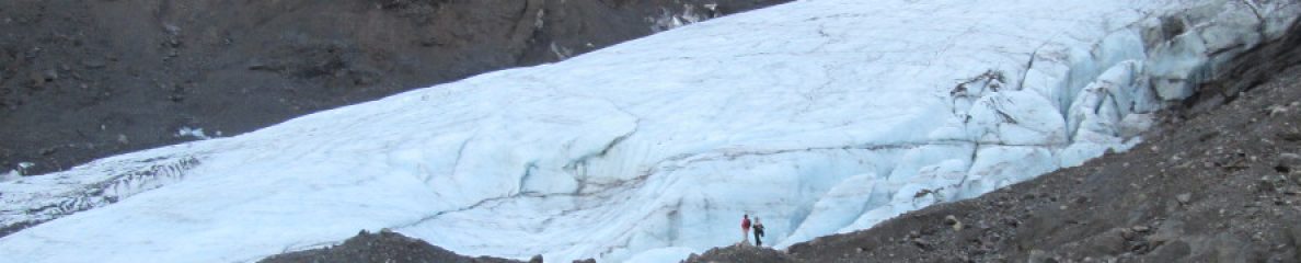
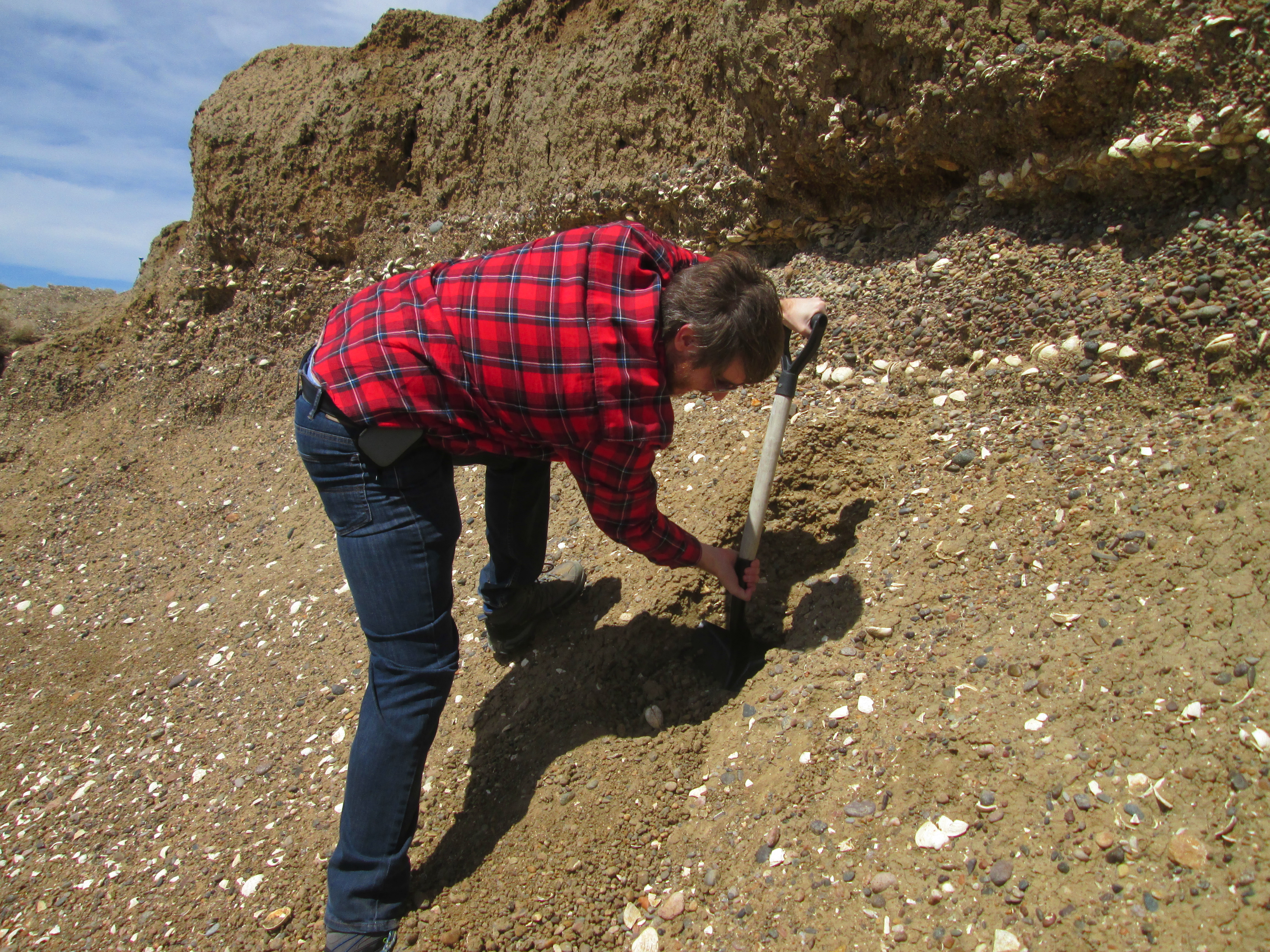
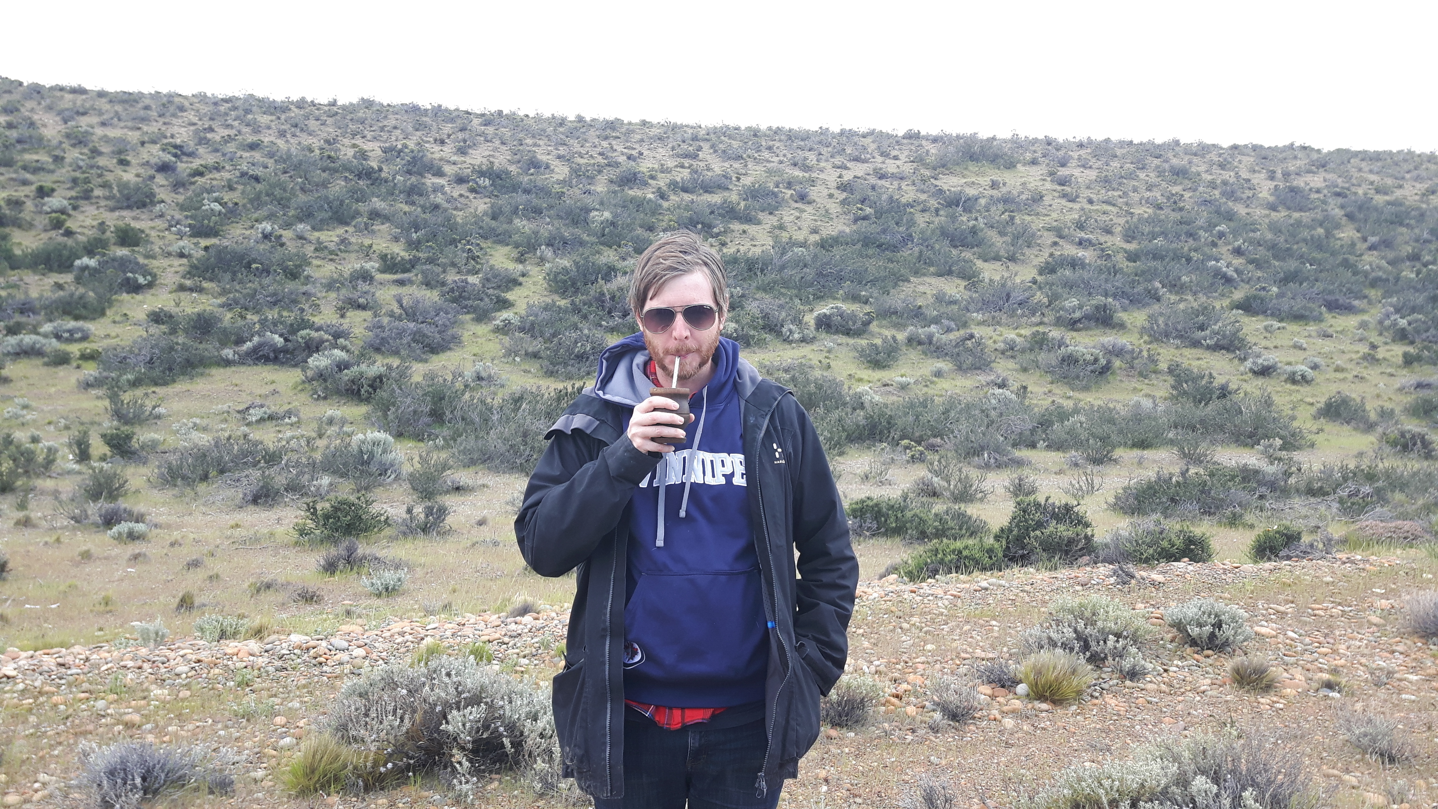
In order to improve the situation, in November 2019, I went with my coauthors on a field trip to Argentina with the purpose to remeasure some of these deposits with GPS and hopefully be able to constrain the ages better. None of the data we collected is in the paper, which is purely a survey of previously published papers. However, I can share a couple of pictures from our trip. It was definitely a pleasure to learn so much about coastal geomorphology from experts like Alessio Rovere, Deirdre Ryan, Alejandro Montes and Sebastian Richiano.


Ultimately the goal of my project is specifically to reconstruct ice sheets during the Last Interglacial. Though as time marches on, it is pretty clear that this is not going to happen soon. I have made steps towards this, which will be in a publication that should be out soon (it was accepted for publication last week). Stay tuned.

You must be logged in to post a comment.